


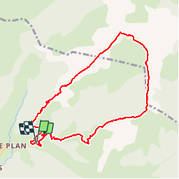


11.9 km | 19.7 km-effort

User


FREE GPS app for hiking
 SityTrail
IGN / Geographical institutes
SityTrail World
The world is yours!
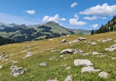
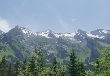
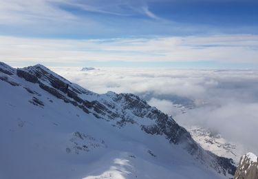
Trail Walking of 9.4 km to be discovered at Auvergne-Rhône-Alpes, Savoy, La Giettaz. This trail is proposed by olivecoco.
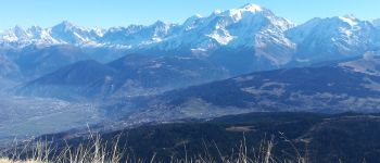
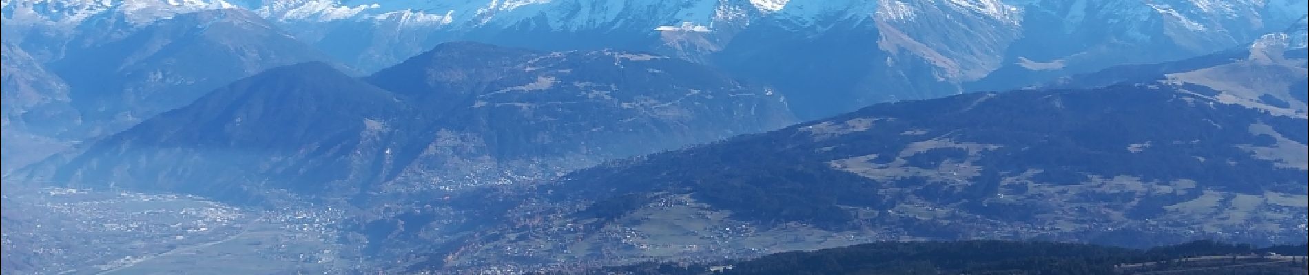
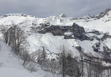
Superbe boucle entre Aravis et Mont Blanc, à faire dans ce sens pour monter la pente la plus raide. 4h repas compris


Walking

Walking

Other activity
Snowshoes
Walking
Walking
Walking
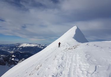
Touring skiing
Touring skiing
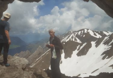
Très joli circuit a faire impérativement dans ce sens